

Santa Catalina foothills
Blackett's Ridge Trail from Sabino Canyon
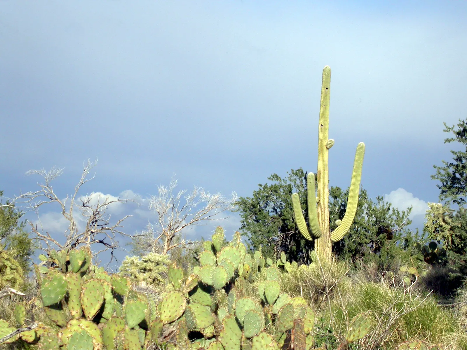
A steep spur off Phoneline Trail, up the ridge above Sabino Canyon. Little shade, and the climb is about 1,300 feet in 1.6 miles once you leave Phoneline.
Area page: Santa Catalina hikes.
What are the hours at Blackett's Ridge Trail?
Blackett's Ridge Trail is open 24 hours. Sabino Canyon Visitor Center is open 8AM to 4:30PM.
Access
- Shuttle
Sabino Canyon rides leave hourly. The first is at 9:00 a.m. and the last is at 4:00 p.m. Bear Canyon rides run from 9:15 a.m. to 4:15 p.m. The shuttle is closed on Thanksgiving, Christmas, and New Year's Day.
- Rules
Dogs are not allowed in the recreation area. Bikes are not allowed on the trails there.
- Parking
Park at the visitor center, 5700 N. Sabino Canyon Road. An overflow gravel lot is just past the main entrance. The lot is quieter in summer and can fill up in fall, winter, and spring. Day use is $8 per vehicle per day, or $10 per vehicle per week. A Coronado annual pass or an America the Beautiful pass works too. Leave the pass on the dashboard. If you are not in a vehicle, carry your day pass.
Lower heat exposure through 5pm (80F forecast at 3pm, USFS says this ridge has little shade). Forecast hours start at 1pm. Sunset about 5:25pm. Forecast issued at 11:32am MST.
Check conditions before you go.
Today
Today, hour by hour. Sunset is about 5:25pm, and later hours aren't rated.
Tomorrow morning
Tomorrow from 5am to noon, if the forecast goes that far.
Photos
NWS alerts
No weather alerts for this trail as of the last update.
NWS HeatRisk, experimental
Level 1 (Minor) for 2026-11-12. HeatRisk is an experimental NWS product. For official heat warnings, go by NWS watches, warnings, and advisories.
Trail facts
Trailhead location
South end of Blackett's Ridge #48. 32.31807, -110.80776. The forecast pin is the south end of the Forest Service trail line, where it meets Phoneline. Park at the Sabino Canyon Visitor Center, about a mile southwest of the trail. The Forest Service says to reach the spur on Bear Canyon Trail #29 for 0.8 miles, then Phoneline Trail #27 for 0.6 miles. Source: USFS EDW TrailNFS Publish, trail 48.
Elevation
3,014 ft. From USGS elevation data for the map pin.
Forecast area elevation
2,995 ft for the NWS forecast area near Tanque Verde, AZ. The NWS forecasts for squares about 2.5 km (1.5 miles) across, so it can be hotter or cooler on the trail itself. Forecast updated 11:32am MST.
Distance and climb
The Forest Service lists Blackett's Ridge #48 as a difficult out-and-back spur off Phoneline Trail. It climbs about 1,300 feet in 1.6 miles, with little shade. Source: USFS Blackett's Ridge #48.
From the visitor center
The August 2025 Sabino Canyon brochure lists the walk from the visitor center as 5.8 miles with 1,980 feet of climbing, and it calls that walk a loop. The directions it prints go out to the ridge end: Bear Canyon, across Lower Sabino Creek, onto Phoneline, then 1.5 miles on Blackett's Ridge. You walk back the way you came. Source: Sabino Canyon recreation brochure, August 2025.
Trail record
The Forest Service trail record lists trail #48 as 1.545 miles, trail class 2, with a typical grade of 12 to 20 percent. Source: USFS EDW TrailNFS Publish.
Listed elevation
The Forest Service lists elevation 4,350 feet. It does not say whether that is the start, the high point, or a typical point. The forecast pin is the south end of the trail line, which sits lower than the ridge end. Source: USFS Blackett's Ridge #48.
Forecast square
The National Weather Service point for 32.3181, -110.8078 is grid TWC 98,53, near Tanque Verde, in forecast zone AZZ504. Parking at the visitor center is about a mile southwest of the trail, in a different forecast square. Source: NWS points API.
Access
From Tanque Verde Road, turn north on Sabino Canyon Road and go 4 miles to the Sabino Canyon Visitor Center at 5700 N. Sabino Canyon Road. From the visitor center, Bear Canyon Trail #29 for 0.8 miles, then Phoneline Trail #27 for 0.6 miles, reaches the spur. Source: USFS Blackett's Ridge #48.
Fees
Day use is $8 per vehicle per day, or $10 per vehicle per week. Put the pass on the dashboard. A fire permit and a backpacking permit are not required. Source: USFS Sabino Canyon Visitor Center.
Water
Potable water is not available on the ridge. The visitor center has drinking water. Bring what you need for the climb. Source: USFS Blackett's Ridge #48 and the visitor center page.
Dogs, bikes, and horses
Dogs are prohibited in Sabino Canyon Recreation Area. Bikes are not permitted on the trails there. Horses and pack animals are allowed on Blackett's Ridge. Source: USFS Blackett's Ridge #48.
Sun and shade
The Forest Service says the ridge has little shade. We don't have hour-by-hour shade. Source: USFS Blackett's Ridge #48.
Official links
- Blackett's Ridge #48
- Sabino Canyon Visitor Center
- August 2025 Sabino Canyon brochure
- Sabino and Bear Canyon closure order
- Sabino Canyon Recreation Area
- Coronado alerts
- NWS forecast point
- Phoneline Trail
- Sabino Canyon
- Seven Falls
Nearby trails
- Seven Falls (Bear Canyon Trail) (1.0 miles away)
- Phoneline Trail (1.0 miles away)
- Sabino Canyon (1.0 miles away)
See also the heat guide, the monsoon guide, and today's conditions on every trail.