

Saguaro National Park East
Bridal Wreath Falls from the Douglas Spring trailhead
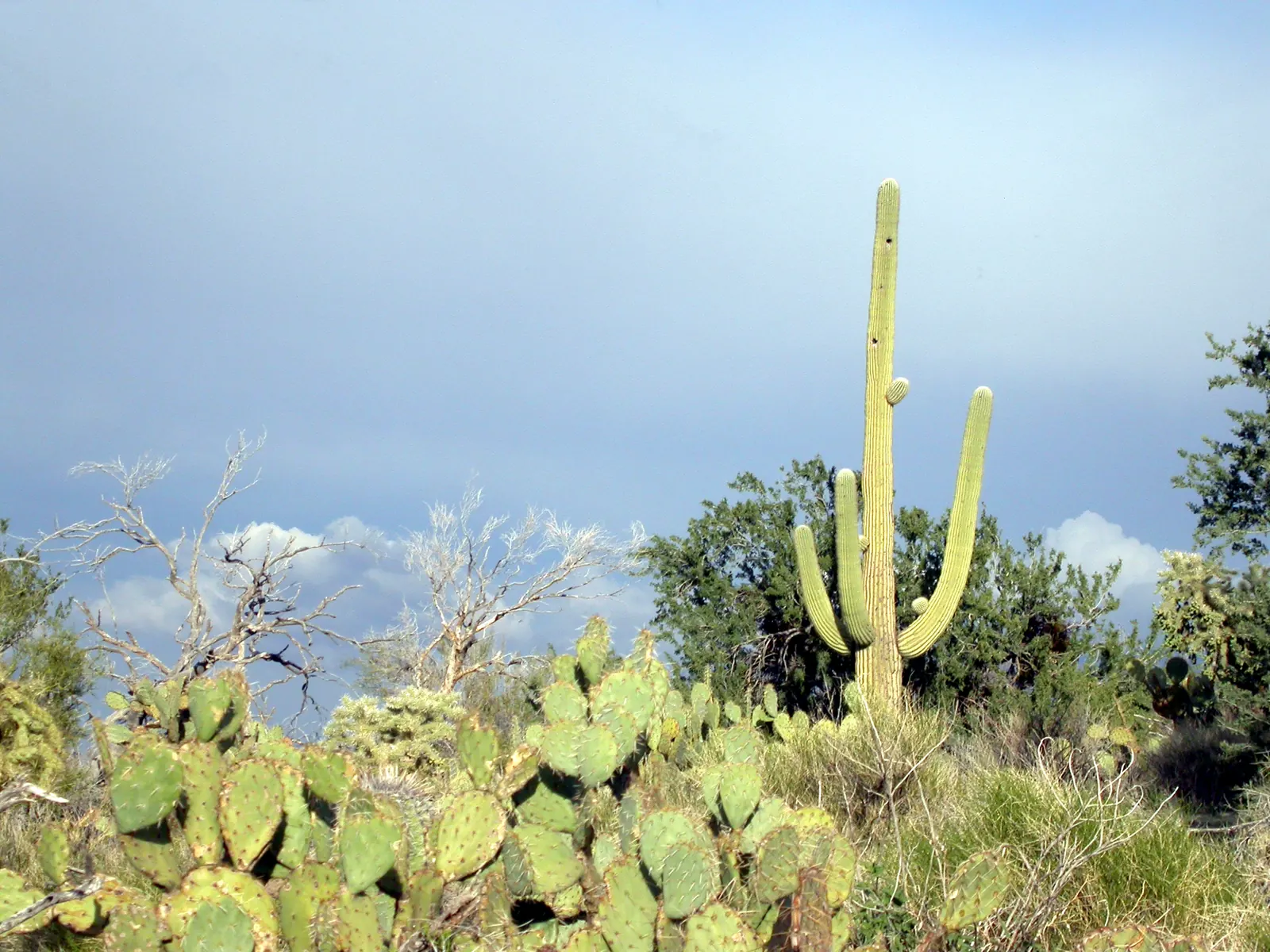
2.8 miles one way (about 5.6 round trip) from the Douglas Spring trailhead (east end of Speedway), best visited in the summer and winter rainy seasons.
Area page: Saguaro National Park East hikes.
What are the hours at Bridal Wreath Falls?
Bridal Wreath Falls is open 24 hours.
Access
- Rules
Dogs are not allowed on the walk to Bridal Wreath Falls. The park allows dogs only on the roads and short trails it lists, and this trail is not one of them. A service animal may go with you.
Bridal Wreath Falls trailhead and parking
Trailhead location
Douglas Spring Trailhead. 32.23513, -110.68685. Open this point in Google Maps.
Pass
A private vehicle is $25 and covers the people in it for 7 days, in both districts. On foot or on a bike, ages 16 and older pay $15. Ages 15 and under are free. The park does not take cash.
Parking
The trailhead is at the east end of Speedway Boulevard, on the south side of the road. Use the parking area, or the side of the road when the lot is full. If you park overnight, take valuables with you.
Rincon Mountain District hiking guide, 2025. Saguaro current conditions. Saguaro camping notes.

Flood alerts for Pima County
These are the same Pima County flood alerts as Tucson flooding today. A quiet list is not a reason to start up the canyon.
No flood alerts are in effect for Pima County as of Nov 16, 5:18pm MST. A quiet list can change quickly. Look again at weather.gov/twc before you cross a wash.
Tanque Verde Creek flow (USGS 09484500)
There is no gauge at Bridal Wreath Falls. The closest reading is USGS 09484500, which measures Tanque Verde Creek miles downstream of this canyon. It is a creek reading, not a falls reading. Water at Bridal Wreath Falls can differ from this gauge.
Downstream creek gauge (Tanque Verde Creek at Tucson)
Discharge 0.00 cfs at 4:00pm MST (P, e).
Gage height 4.35 ft at 4:00pm MST.
Tanque Verde Creek at Tucson, miles downstream of the falls: dry. The falls can still run when this gauge reads low or zero.
Gage height is the mark on this gauge, not the depth you would step into.
Provisional USGS data can be revised. USGS page.
Sabino Creek and this downstream gauge are both on Sabino and Tanque Verde creek flow.
Hiking forecast
Lower heat exposure through 5pm (68F forecast at 5pm). Forecast hours start at 5pm. Sunset about 5:22pm. Forecast issued at 11:32am MST.
Check conditions before you go.
Today
Today, hour by hour. Sunset is about 5:22pm, and later hours aren't rated.
Tomorrow morning
Tomorrow from 5am to noon, if the forecast goes that far.
Photos
NWS alerts
No weather alerts for this trail as of the last update.
NWS HeatRisk, experimental
Level 0 (Little to none) for 2026-11-16. HeatRisk is an experimental NWS product. For official heat warnings, go by NWS watches, warnings, and advisories.
Trail facts
Elevation
3,805 ft. From USGS elevation data for the map pin.
Forecast area elevation
3,993 ft for the NWS forecast area near Tanque Verde, AZ. The NWS forecasts for squares about 2.5 km (1.5 miles) across, so it can be hotter or cooler on the trail itself. Forecast updated 11:32am MST.
Distance and climb
The park's 2025 Rincon Mountain District hiking guide says Bridal Wreath Falls is 2.8 miles one way and rises 1,000 feet. Count on 2.8 miles one way (about 5.6 round trip) from the Douglas Spring trailhead (east end of Speedway). Source: Saguaro National Park Rincon Mountain District hiking guide, 2025.
Best seasons
The same hiking guide calls Bridal Wreath Falls a good destination in the summer and winter rainy seasons. Source: Saguaro National Park Rincon Mountain District hiking guide, 2025.
Where to start
The Douglas Spring trailhead (east end of Speedway) is the National Park Service point at 32.23513, -110.68685. Source: NPS public points of interest.
Forecast square
The National Weather Service point for 32.2273, -110.6507 is grid TWC 103,48, near Tanque Verde, in forecast zone AZZ504. That point is the mapped end of the spur. The Douglas Spring trailhead at 32.2351, -110.6869 is grid TWC 102,48, in that same zone. Source: NWS points API.
Trailhead elevation
The Douglas Spring trailhead sits at about 2,751 feet. That is the parking spot, from USGS elevation data, not the falls. Source: USGS 3DEP elevation point service.
Pin elevation
The mapped end of the spur sits at about 3,805 feet. That is the forecast pin, from USGS elevation data, not a surveyed elevation of the falls. The park guide's 1,000 feet is the climb on the walk. Source: USGS 3DEP elevation point service.
Downstream gauge
USGS 09484500 measures Tanque Verde Creek at Tucson, miles downstream of this canyon, not at the falls. On November 16, 2026 it was reporting discharge. USGS 09483100, Tanque Verde Creek near Tucson, returned no instantaneous values that day. Source: USGS instantaneous values.
Water
The hiking guide does not list drinking water at the falls. Source: Saguaro National Park Rincon Mountain District hiking guide, 2025.
Sun and shade
We don't have hour-by-hour shade information for this trail.
Official links
- Rincon Mountain District hiking guide, 2025
- Saguaro maps and hiking guides
- NPS wilderness access
- Saguaro pets
- Saguaro fees
- Saguaro current conditions
- Saguaro camping notes
- NWS forecast point
- USGS 09484500, downstream
- Douglas Spring
- Tanque Verde Ridge
- Cactus Forest Trail
Nearby trails
- Douglas Spring (same trailhead)
- Lower Tanque Verde Falls (1.9 miles away)
- Cactus Forest Trail (3.2 miles away)
See also the heat guide, the monsoon guide, and today's conditions on every trail.